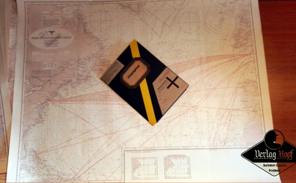
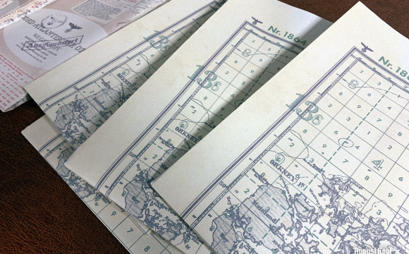
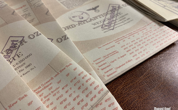
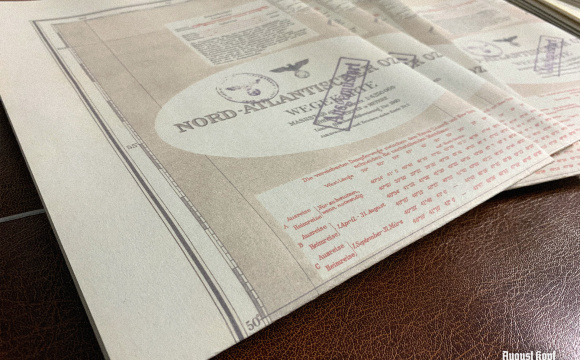
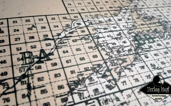
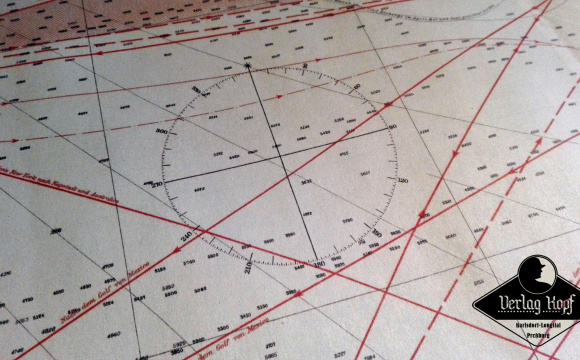
Kriegsmarine Karten Set of 3 Naval Maps
Category: Maps
Item #289
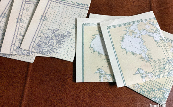
This new set of three naval maps will definitely add you more authenticity for your U-boot and coastal units portrayal.
This set includes
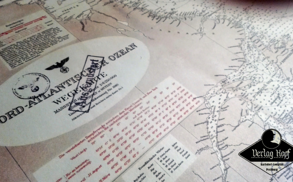
Large map is marked as OUTDATED with german stamp. It contains trading routes, but old sea dog knows, that these are still very important information.
Also please note, that due to modern limited machine printing sizes, our bigger maps are made of two or three sheets, sticked together.
The D.379 and D.1864 maps are published under www.kartengruppe.it authorization. For more interesting maps check their website.
This set includes
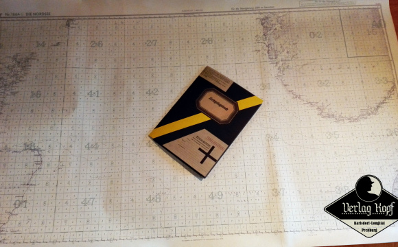
- huge map 86x140cm - DIE NORDSEE
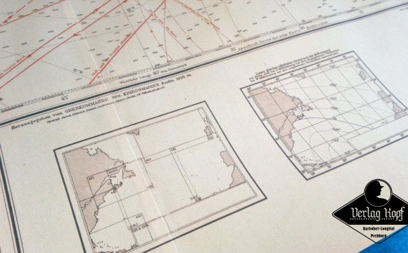
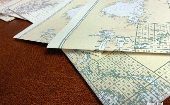
- large 87x108cm map - NORD-ATLANTISCHER OZEAN trading routes
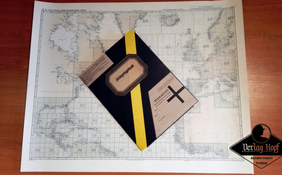
- small 69x55cm map - NORD-ATLANTISCHER OZEAN
Large map is marked as OUTDATED with german stamp. It contains trading routes, but old sea dog knows, that these are still very important information.
Also please note, that due to modern limited machine printing sizes, our bigger maps are made of two or three sheets, sticked together.
Price 39.99€

